The 606
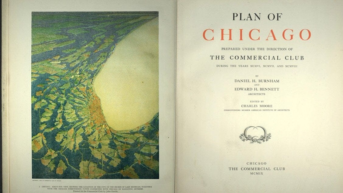
It’s undeniable: Chicago has some magnificent parks. Still, on average, the city features very little parkland per resident, and nearly none at all in certain neighborhoods.
Photo by Molly Page
Photo by Molly Page
Photo by Victor Grigas
Photo by Eric Allix Rogers
Photo by Andrew Santos
Official Name | The 606 |
Address | 1801 N. Ridgeway Ave. |
Neighborhood | Humboldt Park |
Current Use Type | |
Original Completion Date | 2015 |
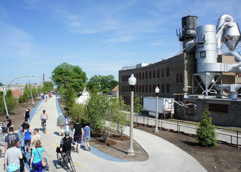
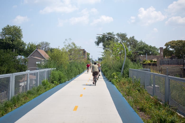
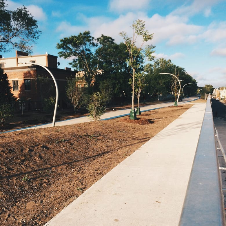
The 606 park and trail system, however, provides encouraging evidence of change on the horizon. In this case, the abandonment of a short elevated rail line on the dense northwest side presented the opportunity to develop a linear park as an ecological, transportation and recreational amenity connecting diverse neighborhoods.
FROM EYESORE TO OPPORTUNITY
The Bloomingdale Rail Line ran at grade along its namesake avenue from the 1870s until it was elevated for safety reasons in 1915. It served the industrial district along the Chicago River at Goose Island, but traffic dwindled as de-industrialization took hold. The last train ran on the line in 2001, by which time the embankment was already more of an illicit park than a freight artery.
Although the idea of a rail-trail was hardly novel, the path to converting the Bloomingdale Line was not clear at first. Neighbors, not wanting to see the line languish, organized grassroots efforts to create a trail in 2004. Their work paved the way for the Trust for Public Land to step in as lead private manager of this complex project with the City of Chicago, the Chicago Park District and the Friends of the Bloomingdale Trail.
NOT YOUR TYPICAL ADAPTIVE REUSE PROJECT
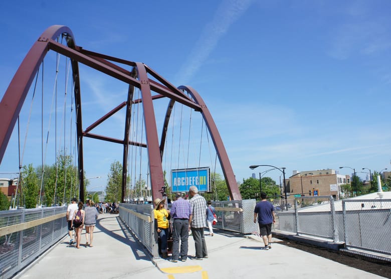
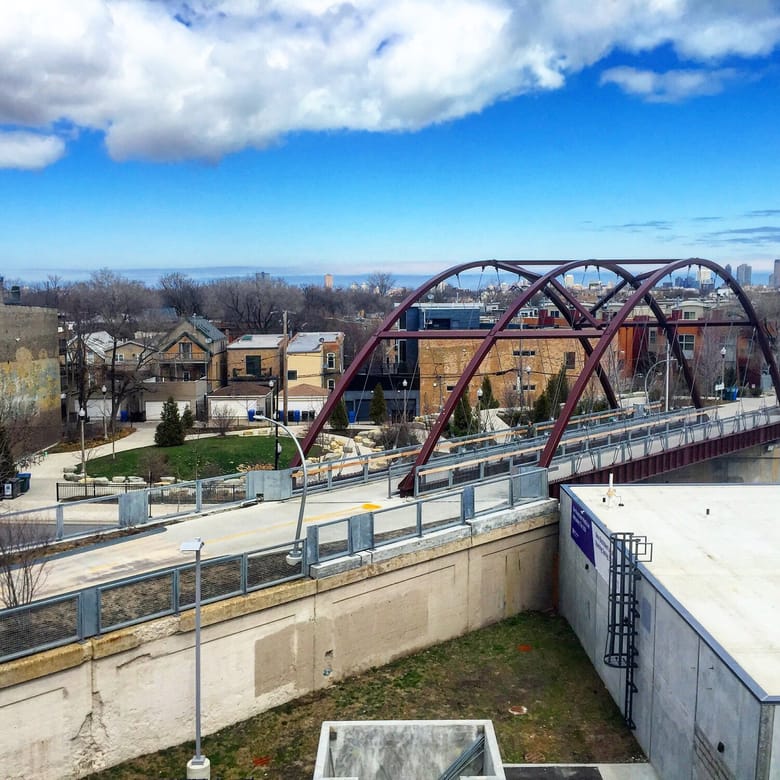
The elevated embankment, with its 37 bridges, posed a significant challenge to repair and upgrade. Engineering and design work kicked off in 2009, and construction began in 2013. As much of the existing structure as possible was re-used by the project’s civil engineers. For Milwaukee Avenue, a dramatic new bridge was constructed. Inspired to some extent by New York City’s High Line, a group of landscape architects and designers—including Michael Van Valkenburg Associates, Ross Barney Architects, Arup and several other firms—worked to create a cohesive look for the trail, with distinctive lighting and sustainable native plantings.
CONNECTING COMMUNITIES
Today, the trail links the economically diverse communities of Bucktown, Logan Square, Humboldt Park and Wicker Park. While it offers a safe, off-street link in Chicago’s growing grid of protected bike routes, the real focus of the project was knitting together disparate neighborhoods. Twelve access points ensure strong connectivity and easy access. New parks were developed at some of those access points, expanding the scope of the project and leading to a new name: the 606.
Despite the trail’s immense success upon opening in summer 2015, work and fundraising will continue for some time to complete two additional grade-level parks.
Did you know?
The Bloomingdale Trail is 2.7 miles long, from Ridgeway Avenue on the west to Ashland Avenue on the east.
Did you know?
One bridge was refurbished offsite and then trucked into position for trail users and to improve traffic flow at street level.
Did you know?
The park was named “The 606” in reference to the first three digits of virtually all Chicago zip codes.

